Multimodal classification of remote sensing images
Texto
Imagem


Documentos relacionados
It seems that agenda setting and framing research are here exploring the same terrain: how mass media ex- ert influence by representing an issue through particular attributes
Excess equity capital Tier 1 (Book value of equity / capital divided by risk weighted assets, as defined in Basel I - regulatory minimum capital (4% or 6%) Market-to-book
The aim of this study was to compare the accuracy of classification methods in the determination of orbital images of areas cultivated with citrus in the middle region of the
The DWT is applied for these images, trained with the neural network method and then proposed watermarking technique is applied to get the watermarked image as shown in
exclusiveness of the products with a main focus on the salmon products, its health and environmental benefits. Where: Because of the special restrictions regarding western social
A obra de Catherine Opie interessa-me porque: primeiro, a distinção clara que a artista faz entre autorretrato e autorrepresentação; segundo, o seu modo de
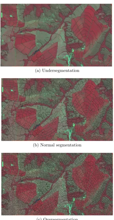
So we introduce the Correctness Coefficient (CC) method. Also, several procedures for subpixel accuracy assessment were introduced. The numbers of binary images are
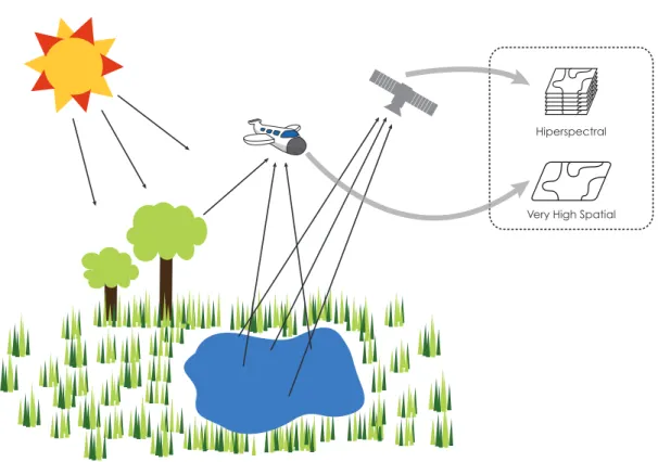
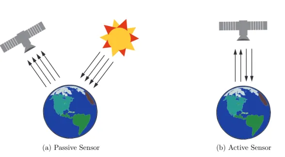
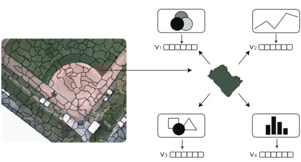
The enhancement of remote sensing with increased spatial, temporal and spectral resolution on different platforms (satellites, aircraft, and unman- ned aerial vehicles) has
