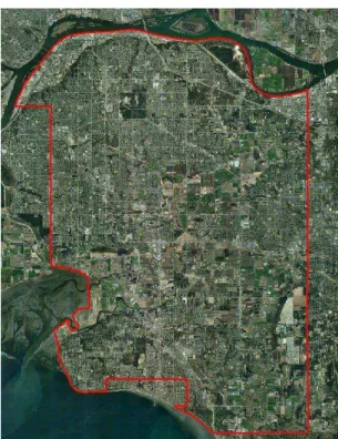
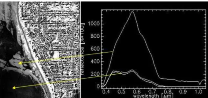
An Integrated Method for Mapping Impervious and Pervious Areas in Urban Environments Using Hyperspectral and LiDAR Data
Texto
Imagem

Documentos relacionados
Com este mini plano de marketing, pretende-se reorganizar a estratégia global da empresa, definindo algumas linhas orientadoras que possam servir de base, para
This study combined and adapted reported ethnopharmacological research techniques for sampling and data collection of medicinal plants in forests adjacent to urban areas,
non-invasive method for the quantitative inversion of rice nitrogen content based on hyperspectral remote sensing data collected by an unmanned aerial vehicle (UAV).. Rice
Trabalho-Família Negativa; IFTN – Interação Família-Trabalho Negativa; ITFP – Interação Trabalho-Família Positiva; IFTP – Interação Família-Trabalho Positiva....
Mestre em Direito pela Universidade Federal de Minas Gerais; Professor da Faculdade de Ciências Jurídicas de Diamantina/MG; Faculdade de Direito da
high impervious surfaces (74%) and low vegetated areas (15%) afected the partition of energy balance inside the Cuiabá’s urban canopy, reducing the energy dissipation in form of
Conclusões: O fato dos jovens compreenderem os benefícios e influência da prática desportiva no rendimento académico e a importância no envolvimento parental nessa
