LAND COVER MAPPING ANALYSIS AND URBAN GROWTH MODELING USING REMOTE SENSING TECHNIQUES
Texto
Imagem


Documentos relacionados
The probability of attending school four our group of interest in this region increased by 6.5 percentage points after the expansion of the Bolsa Família program in 2007 and
These things can be improved by recent field visit to collect Global Positioning System (GPS) data for land cover verification/ground truthing purpose. To solve
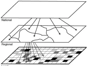
land use classification maps of 1999 used for the projection of urban growth of 2006.
The main objective of this study was to assess the impacts of land use and land cover change impact on the stream flow of Gilgel Abbay watershed using Remote
As referred in the Favorita Papers (Auer, 2005), the WA US representative mentioned on her paper to the Wassenaar Arrangement called United States Paper on Intangible
SPORT E CULTO DEL CORPO NELL’IDEOLOGIA FASCISTA E NAZISTA Educação física, desporto “cultura popular” L¸HSLNYPHUV[YHIHSOV¹9LÅL_LZZVIYL\TH instituição do Estado
No corpo do nosso artigo, fizemos notar não apenas que o célebre momento da peripécia em Frei Luís de Sousa (Acto II, cena XV, aliás ecoando em réplicas trocadas entre
Para identificar em qual ano os domicílios brasileiros chegariam à marca de 50% ou mais com a presença da Internet, foi realizada uma projeção populacional
