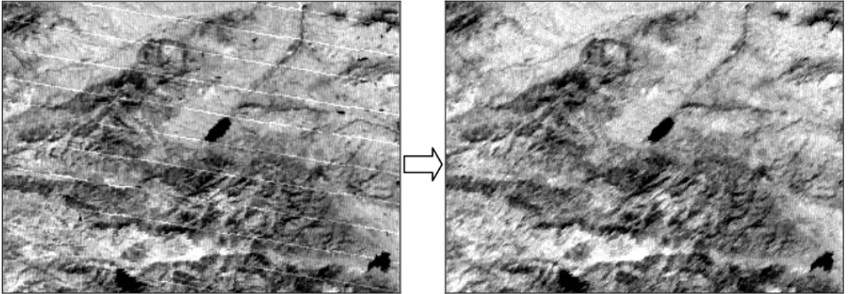
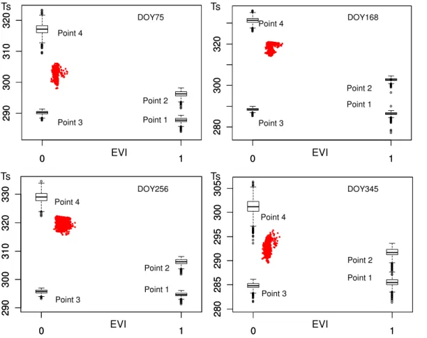
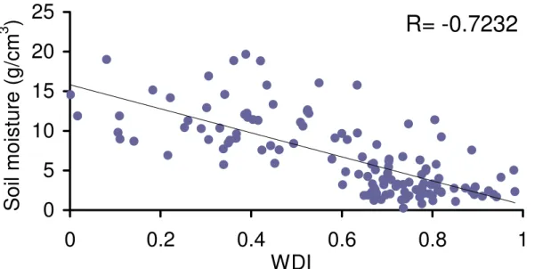
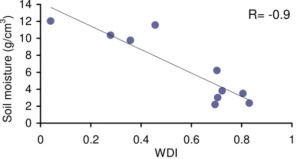
Estimate soil moisture using trapezoidal relationship between remotely sensed land surface temperature and vegetation index
Texto
Imagem


Documentos relacionados
Land data assimilation systems (LDAS) are needed to integrate satellite data providing information about land state variables such as the surface soil moisture (SSM) and leaf area
After a description of the ECMWF’s analysis and soil moisture products used in this study, the new bare ground evaporation formulation is presented followed by a descrip- tion of the
Three different data products from the SMOS mission are assimilated separately into the GEOS-5 land surface model to improve estimates of surface and root-zone soil moisture and
and Wood, E.: The assimilation of remotely sensed soil brightness temperature im- agery into a land surface model using ensemble Kalman filtering: a case study based on
The most accurate results in the Valencia site were obtained using the SW algorithm with the exception of ASWf. The low accuracy of the DA method is due to the directional effects
soil moisture, soil temperature, net radiation and heat fluxes (latent, sensible and ground heat fluxes) at land surface. Temperature and moisture of the surface 2.5 cm soil
For this purpose, we trained the ANN model using MODIS atmospheric profile product of air temperature, dew point temperature, solar zenith angle and land
The LOPEX series were successful in collecting measurements data of the land sur- face energy fluxes, soil temperature and moisture, and near surface layer meteo- rological

