Automated processing of high resolution airborne images for earthquake damage assessment
Texto
Imagem
Documentos relacionados
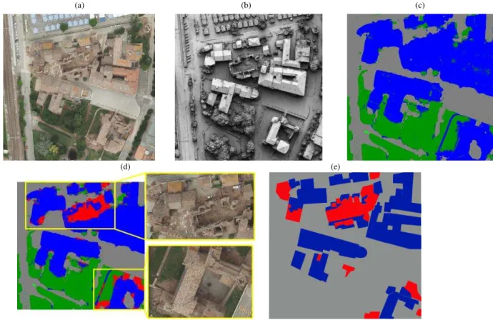
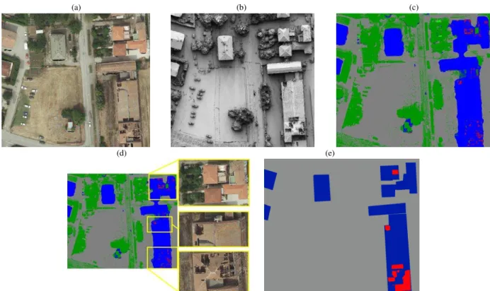
Several spectral, altimetric, and planimetric spatial data sets were used for feature extraction and quality assessment, namely: a pansharpened QuickBird image, its multispectral
Classification and extraction of spatial features in urban areas using high- resolution multi-spectral imagery, IEEE Geoscience and Remote Sensing Letters ,
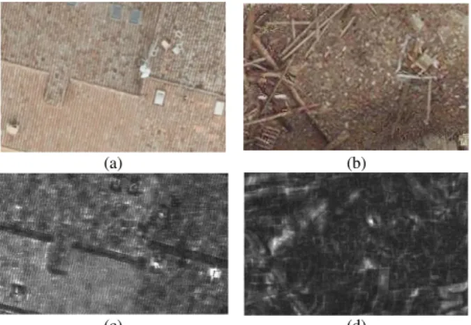
Therefore, thanks also to a 1 m pixel airborne LiDAR (Light Detection And Ranging) dataset, we analyzed in detail the correlation between geomorphological features and
In 2011, assessment was conducted using a combination of Landsat (5 and 7) and for the first time, 5m high resolution imagery, with RapidEye coverage for approximately half of
Rottensteiner F., Briese C., 2002, A new method for building extraction in urban areas from high-resolution LiDAR data, International Archives of the
A high resolution climatology of precipitation and deep convection over the Mediterranean region from operational satellite microwave data: development and application to the
Change detection of buildings in urban environment from high spatial resolution satellite images using existing cartographic data and prior knowledge. In: IEEE
This study investigates the potential of using very high resolution (VHR) QuickBird data to conduct vegetation classification of the Sundarban mangrove forest in Bangladesh
