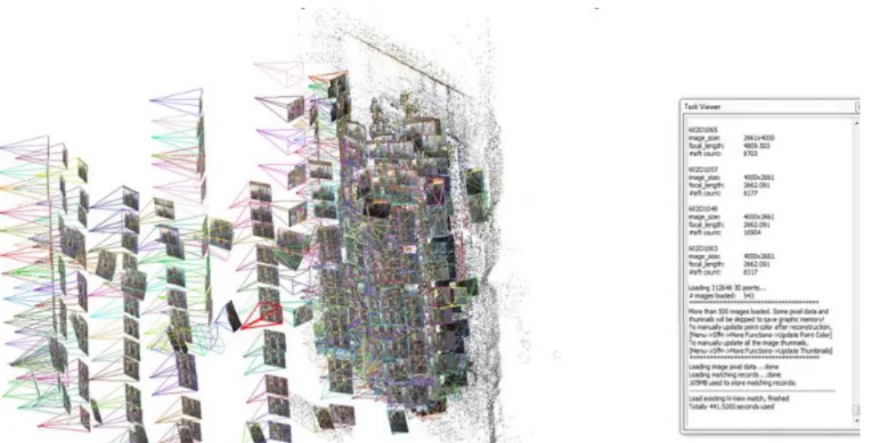
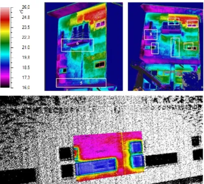
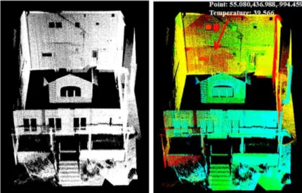
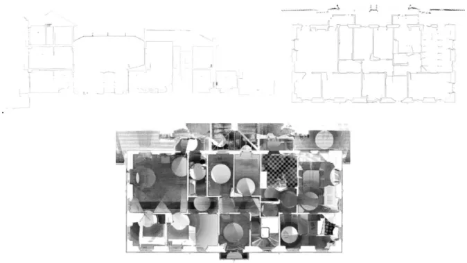
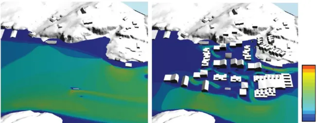
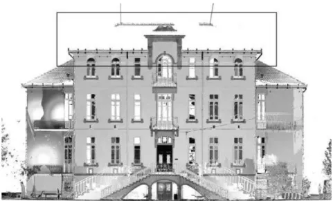
As-built building information modeling (BIM) workflows
Texto
Imagem


Documentos relacionados
De um total de 15 indicadores de desempenho inicialmente propostos concluiu-se que os mais significativos são Liquidez Corrente, Liquidez Seca, Liquidez Geral, Capital de Terceiros
33 Tabela 8 - Valores médios e desvios-padrão do comprimento celular, da largura celular e do volume celular de miócitos do ventrículo esquerdo com resultados* das comparações
a) Todos os indivíduos têm certos motivos ou necessidades básicas que representam comportamentos potenciais e somente influenciam o comportamento quando provocados. b)
as estimativas de diversidade foram similares nos três sítios estudados, mas a comunidade de invertebrados presente na área degradada (Sítio#01) foi dominada por
Neste trabalho, estimamos e comparamos o desempenho do exame citológico e da captura híbrida II no rastreamento das lesões precursoras do câncer do colo do útero em mu- lheres
O planejamento de experimentos adotado foi do tipo composto central rotacional, para avaliar a influência de três variáveis: temperatura, umidade e concentração de
sobre como e por quanto tempo o MACKENZIE utiliza os dados pessoais coletados, assim como informações sobre as ferramentas disponíveis para o exercício dos direitos dos titulares
O Instituto Capixaba de Pesquisa, Assistência Técnica e Extensão Rural (Incaper), órgão público estadual, criado em 1956, como Associação de Crédito e Assistência
